12 Highlights on the Stockhorn
- The Stockhorn is very idyllically located above the Simmental valley and west of Lake Thun in the Bernese Oberland.
- The panorama platform in the north face of the Stockhorn lets you experience a panoramic view of 240 degrees on a glass plate 400 meters above the ground.
- A 70-meter-long, wheelchair-accessible tunnel leads you to the platform along information panels. On the way to the viewing platform, a unique specimen of a large calcite crystal, which originates from the region, is on display.
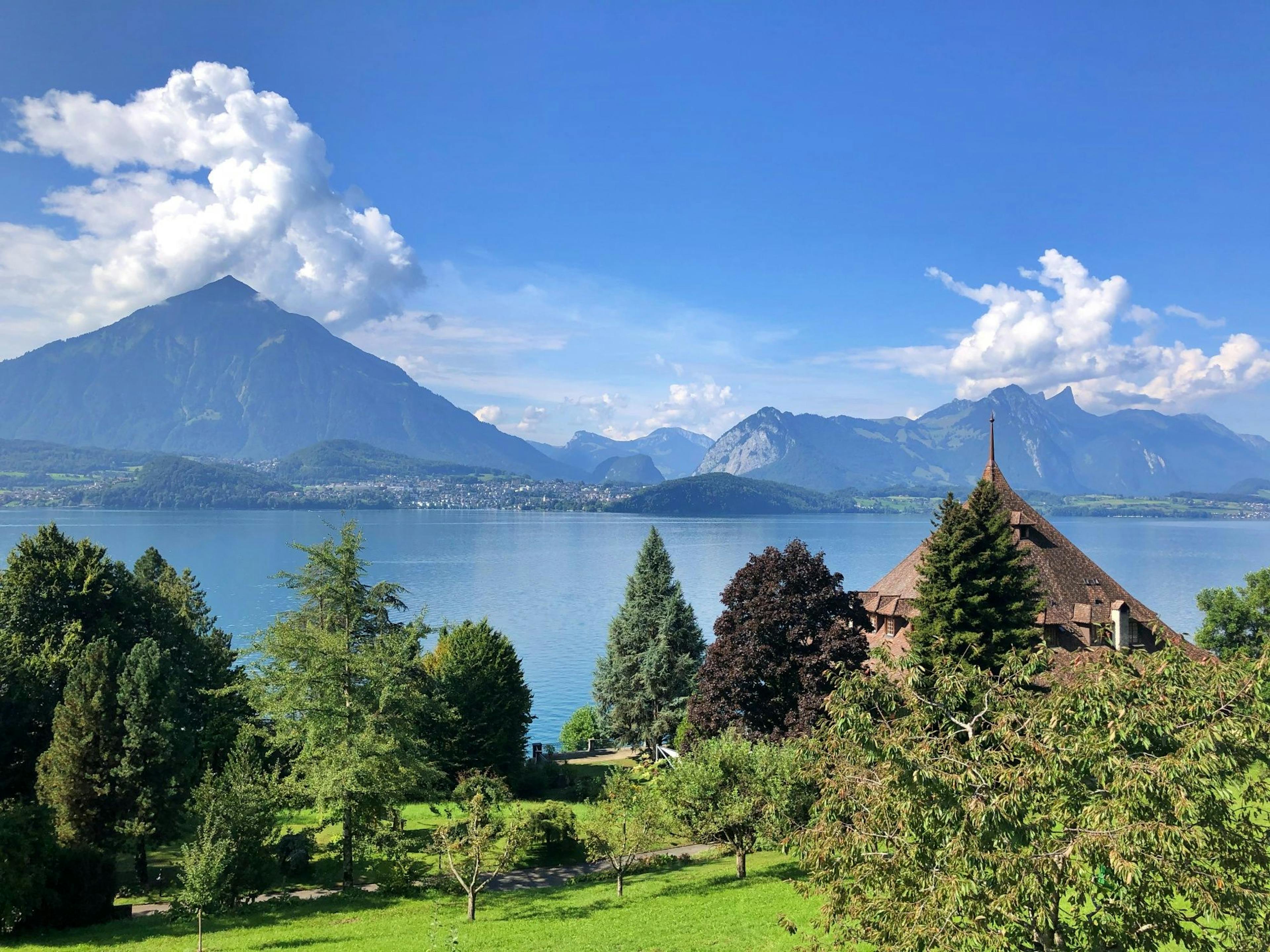
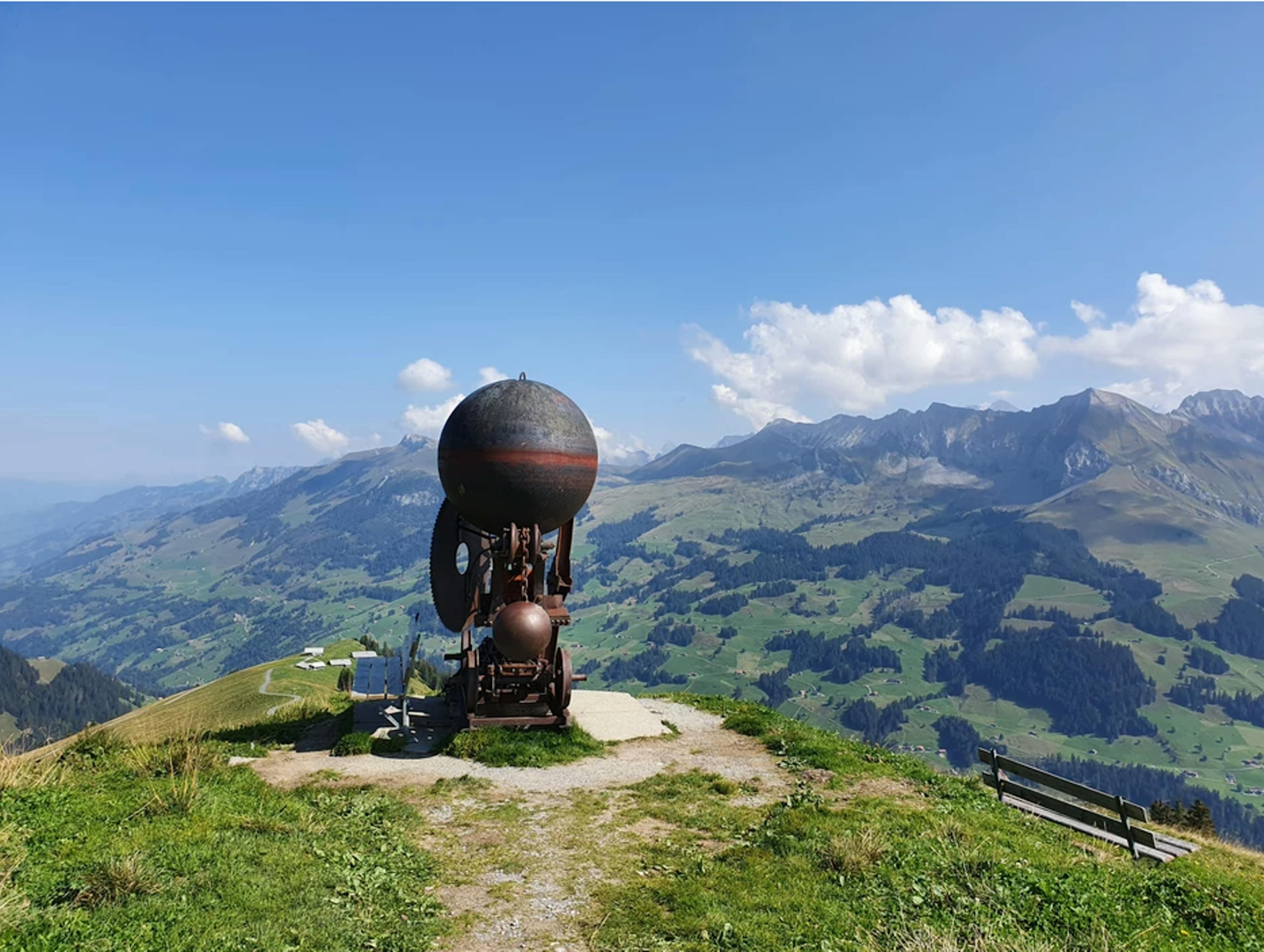
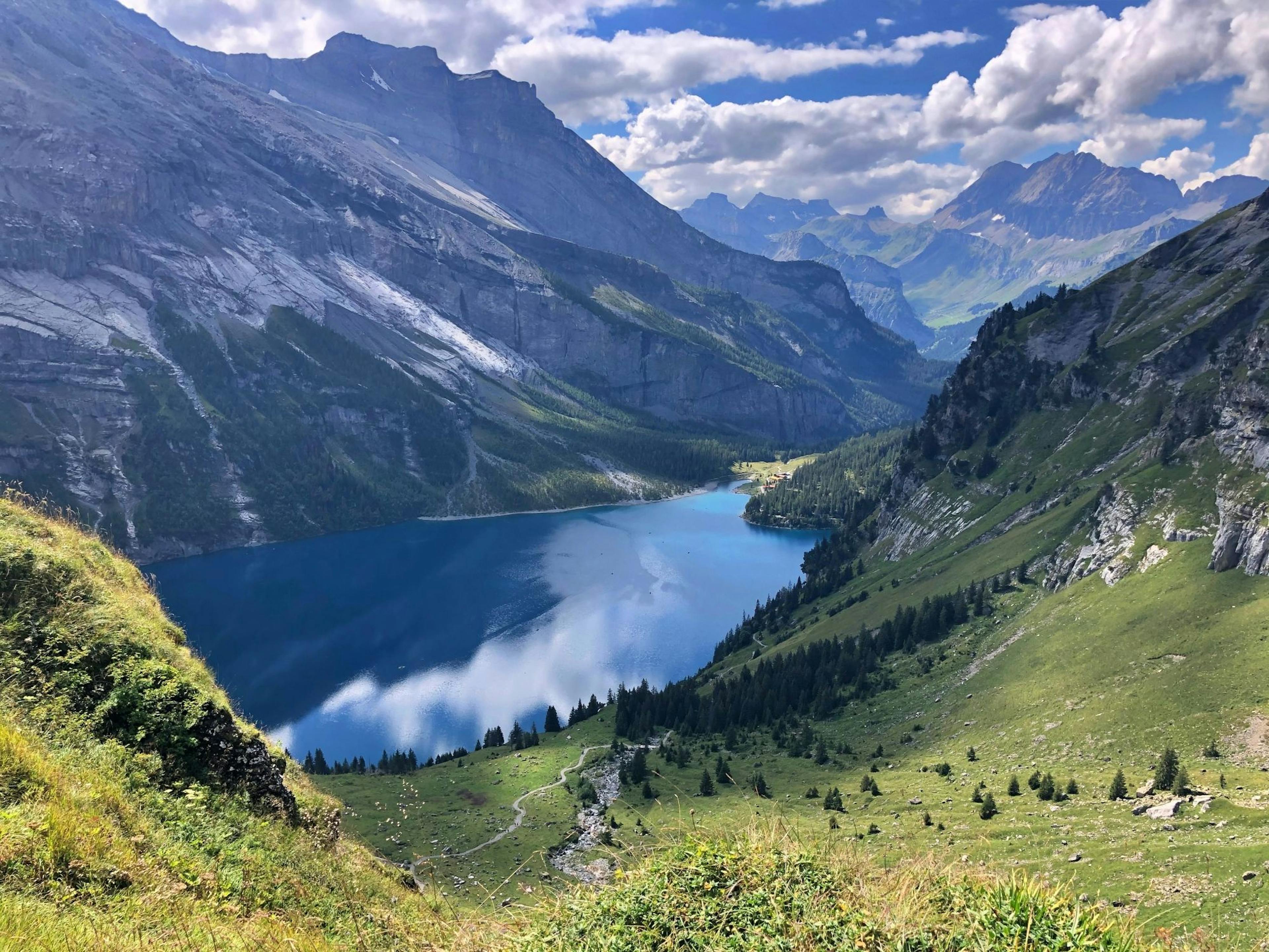
- The view from the Stockhorn shows Lake Thun and the Mittelland and on clear days goes as far as the Black Forest. More than 200 mountain peaks are visible to the south.
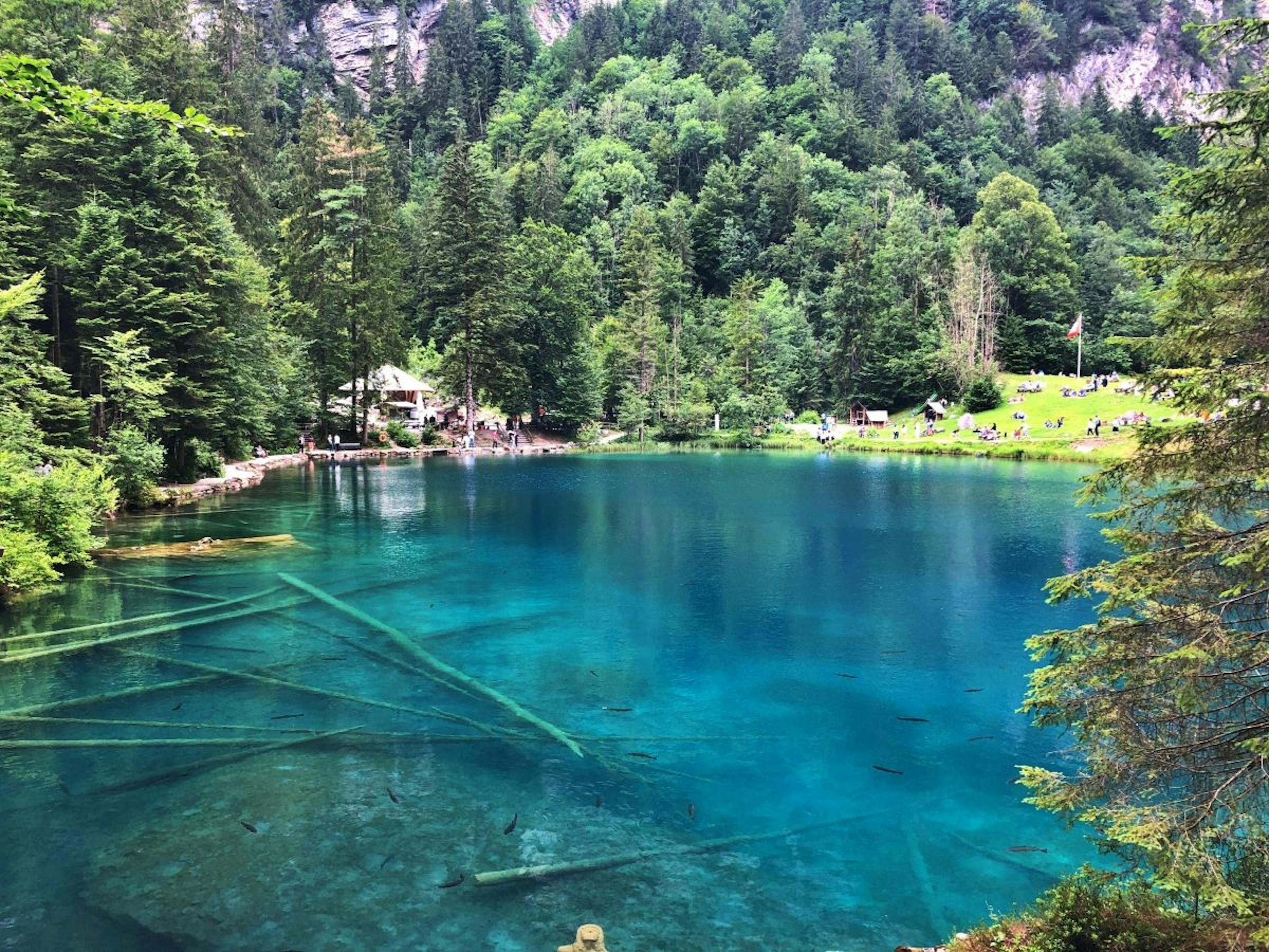
- Hinterstockensee and Oberstockensee are two small mountain lakes on the Stockhorn. You can fish for trout here, and ice fishing is offered in winter.
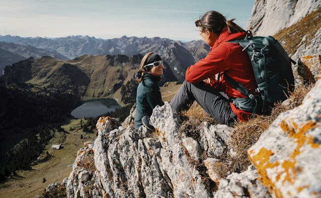
- In summer, hiking trails await you, from the wheelchair-accessible trail around the Hinterstockensee to the challenging mountain hike.
- The alpine flower nature trail shows you 95 signposted plant species on the way from the mountain station to the summit.
- For sport climbers, there are several climbing gardens around the Stockhorn, offering 120 climbing routes through the limestone.
- Every year in July, a half marathon is held from Oberwil im Simmental to the Stockhorn.
- In winter you can choose between four winter hiking trails and four signposted snowshoe trails.
- At Hinterstockensee you can snowshoe when the ice surface is suitable.
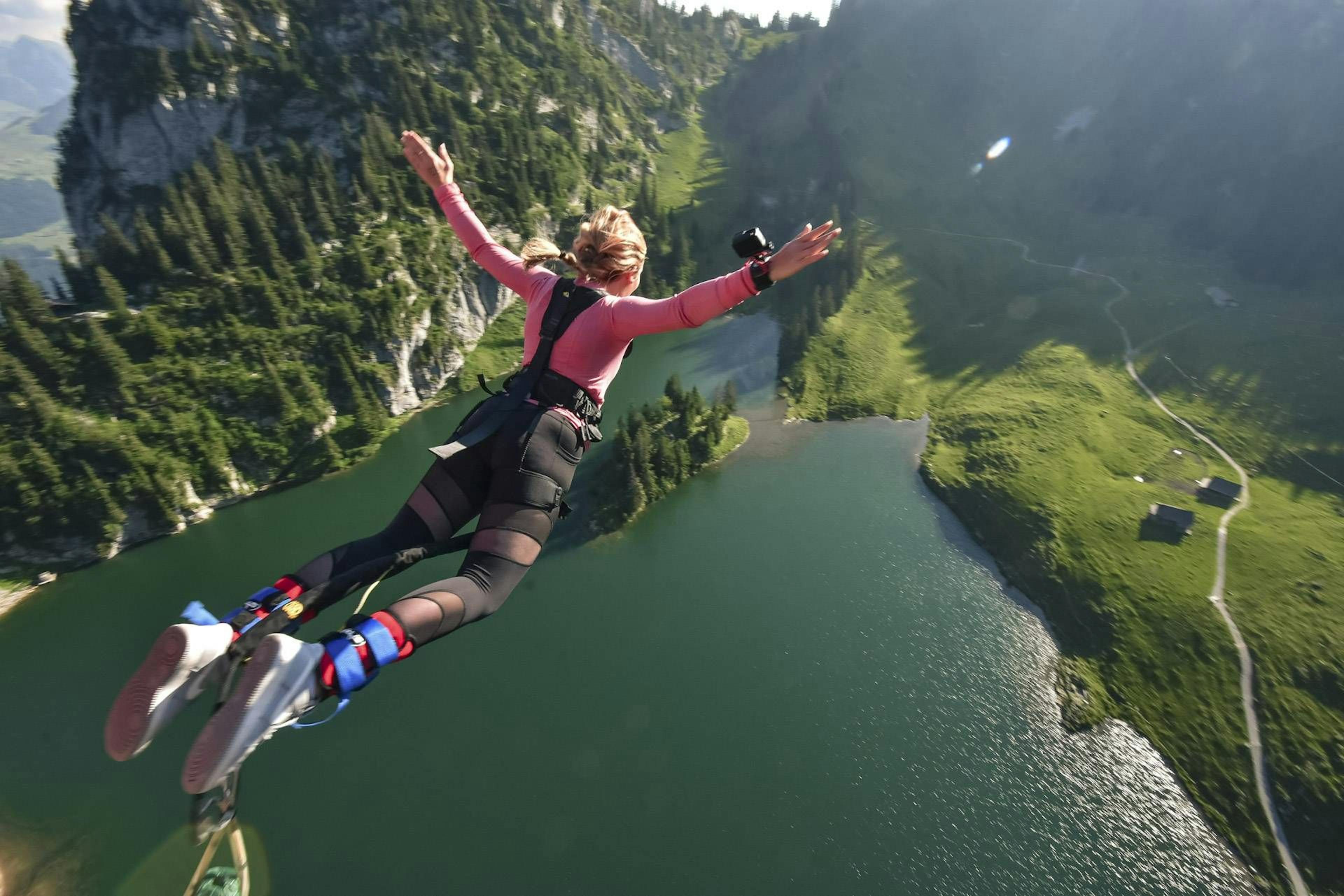
- For adrenaline junkies there is organized bungee jumping from the 134 m high Stockhorn cable car.
The Stockhorn is an excursion mountain that is excellent for sporty visitors as well as for wheelchair users and families. It is accessible all year round from Erlenbach im Simmental via the Stockhornbahn.
What awaits you on the Stockhorn
At the summit of the Stockhorn you have a breathtaking view. It leads to the northeast over the Thunersee and in good weather to the Black Forest. To the southeast, the mountain peaks are so numerous that you won't be able to count them.
 Klettern am Stockhorn (Foto: Florence Gross, Schweiz Tourismus)
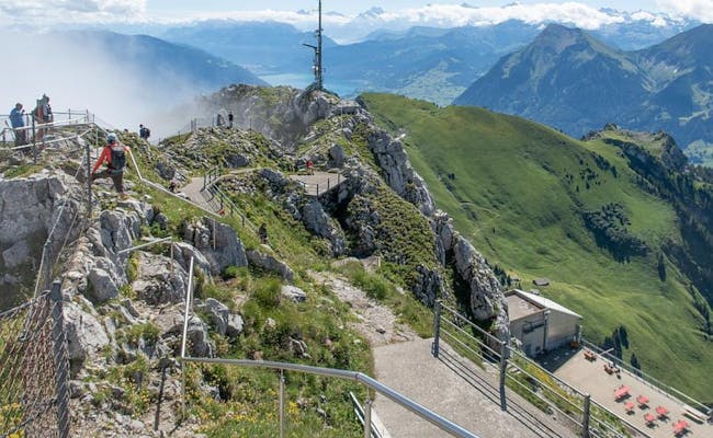 Stockhorn mit Aussicht (Foto: Rene Michel, SchweizMobil)
Stockhorn mountain station
A 70-meter-long tunnel leads from the top station to the summit of the Stockhorn, which is also easily accessible by wheelchair. It takes you to a viewing platform with glass floor. This platform is conically oriented to provide the wide-angle effect of a 240-degree view. It is located about 400 meters above the ground.
Along the way, you will pass by information panels and admire the unique specimen of a large calzite crystal from the region that is on display here.
An alpine flower nature trail also leads you to the summit. Here are about 95 alpine flowers with information signs.
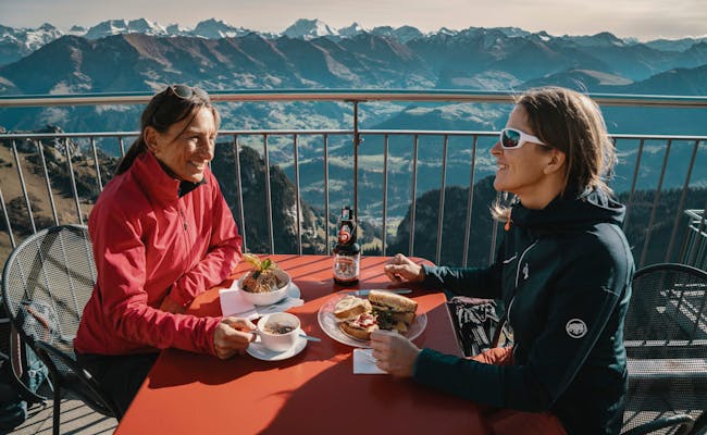
At the summit, you can indulge yourself in a restaurant with 180 seats. On the spacious sun terrace there are deck chairs available in winter.
Middle station Chrindi
You can reach the two mountain lakes via hiking trails from the Chrindi middle station:
- The Oberstockensee (also Vorderstockensee) is located below the Stockhorn at 1665 m above sea level in a rock basin. You can reach it in about 45 min on foot from Chrindi.
- The Hinterstockensee is located at 1595 m above sea level below the Stockhorn, also in a rock basin.
In the restaurant Chrindi you can find snacks and simple meals. It has a nice sun terrace and room for 120 people.
 Restaurant (Foto: Florence Gross, Schweiz Tourismus)
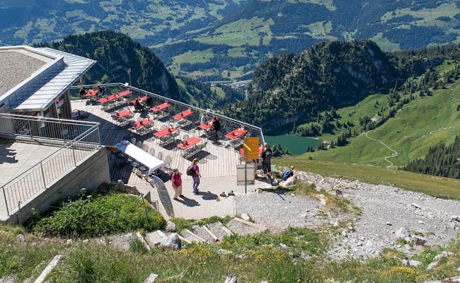 Restaurant (Foto: Rene Michel, SchweizMobil)
Activities on the Stockhorn
Almost without exception, activities on the Stockhorn begin at the Chrindi mid-station. These include:
- Mountain hikes and winter walks
- mountain bike tours over single trails
- various via ferratas, for example the "Yellow Wall": at the intermediate station and around the summit, there are a total of 120 routes in twelve sectors in the compact limestone rocks. They range from difficulty level 2 to 7.
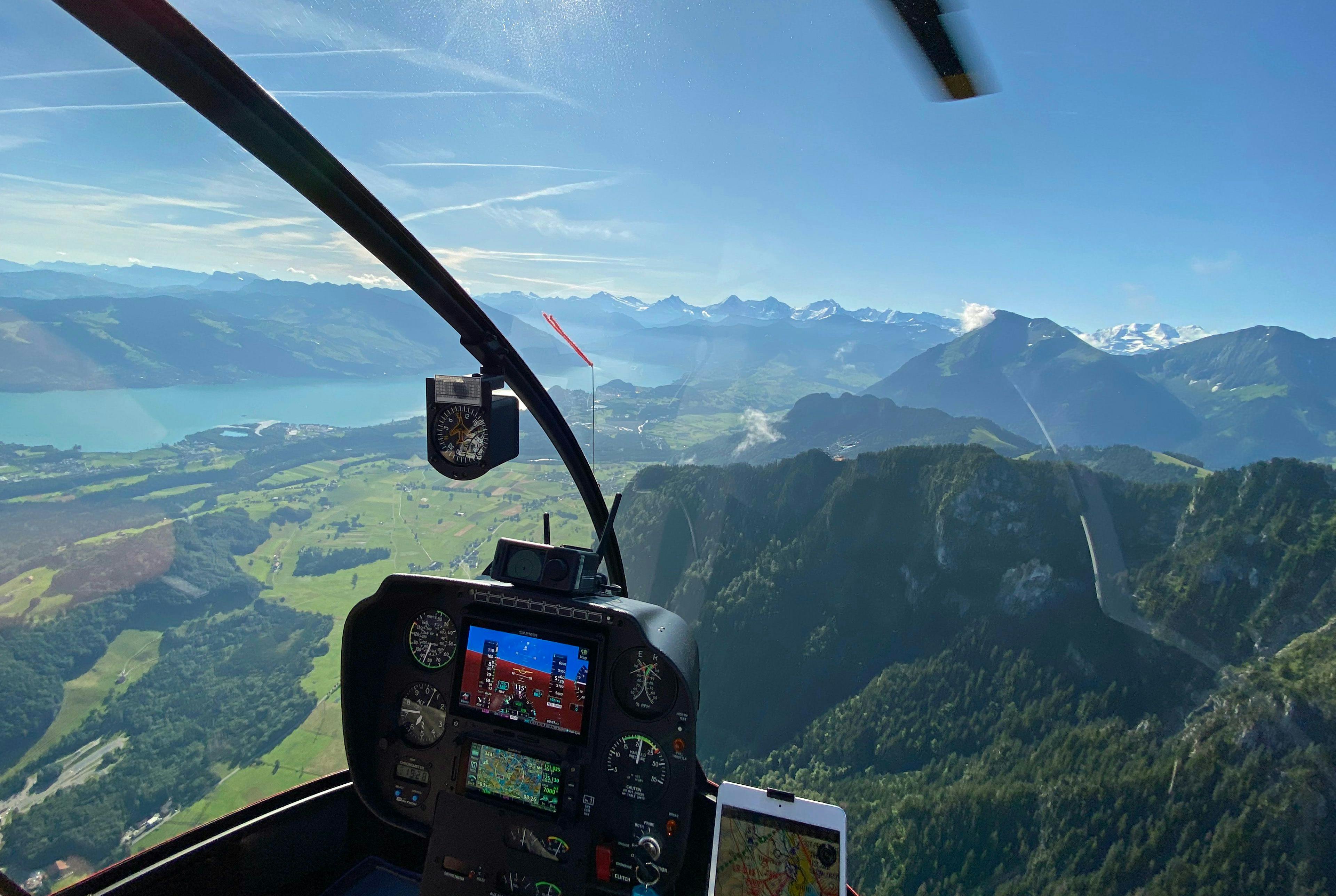
- Paragliding with starting point to the south at 2000 m above sea level.
- trail running with almost 1500 meters of altitude on hiking trails between Erlenbach and Stockhorn
- guided bungee jumping from the 134 m high Stockhorn cable car (after closing time)
- trout fishing at both mountain lakes, in winter ice fishing
- Snowshoeing over four signposted trails
- ice skating at Hinterstockensee lake
Swiss Activities Tip: With the paragliding regular ticket every 11th train ride is free of charge
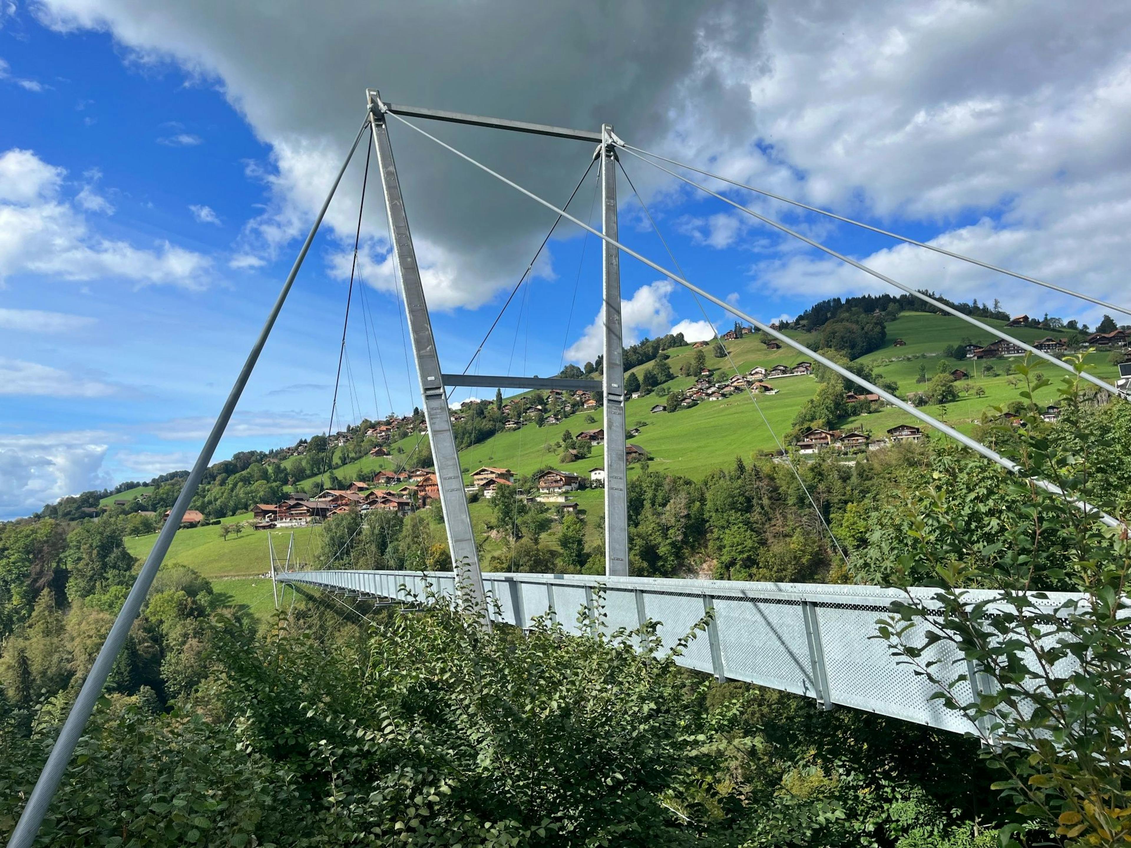
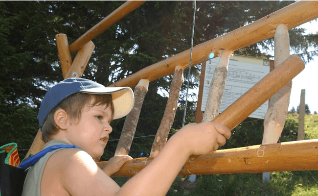 Erlebnispfad (Foto: Stockhornbahn)
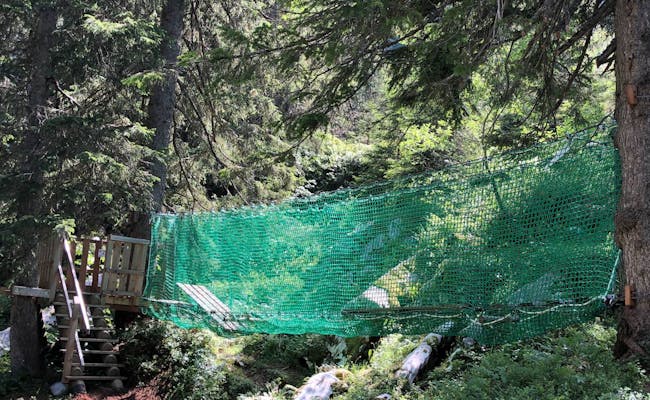 Seilbrücke (Foto: Stockhornbahn)
Some popular hikes
- Hike Chrindi - Stockhorn (uphill 2:00 hrs, downhill 1:30 hrs)
- Hike from Chrindi to Vorderstockenalp (40 min) and Trotti biking back to Erlenbach i.S.
- Oberstockenalp-Hinterstockensee-Chrindi (40 min)
- Chrindi-Hinterstockenalp-Chrindi (circular trail Hinterstockensee) doable with all-terrain stroller/wheelchair (40 min)
- Quiz trail along the lake circuit (Hinterstockensee) from Chrindi with 10 posts for questions (40 min)
- Adventure trail with circling of the two mountain lakes and 16 posts to experience (2:30 hrs.)
The adventure trail and the quiz trail are excellent for families. Here the hiking takes a back seat. The playful experience predominates.
Two playgrounds:
- Aquilino with shipwreck and eagle's nest is naturally inserted into the landscape
- Chrindi with slide, rotating wheel and a big rocking horse is located at the middle station
Location and accessibility of the Stockhorn
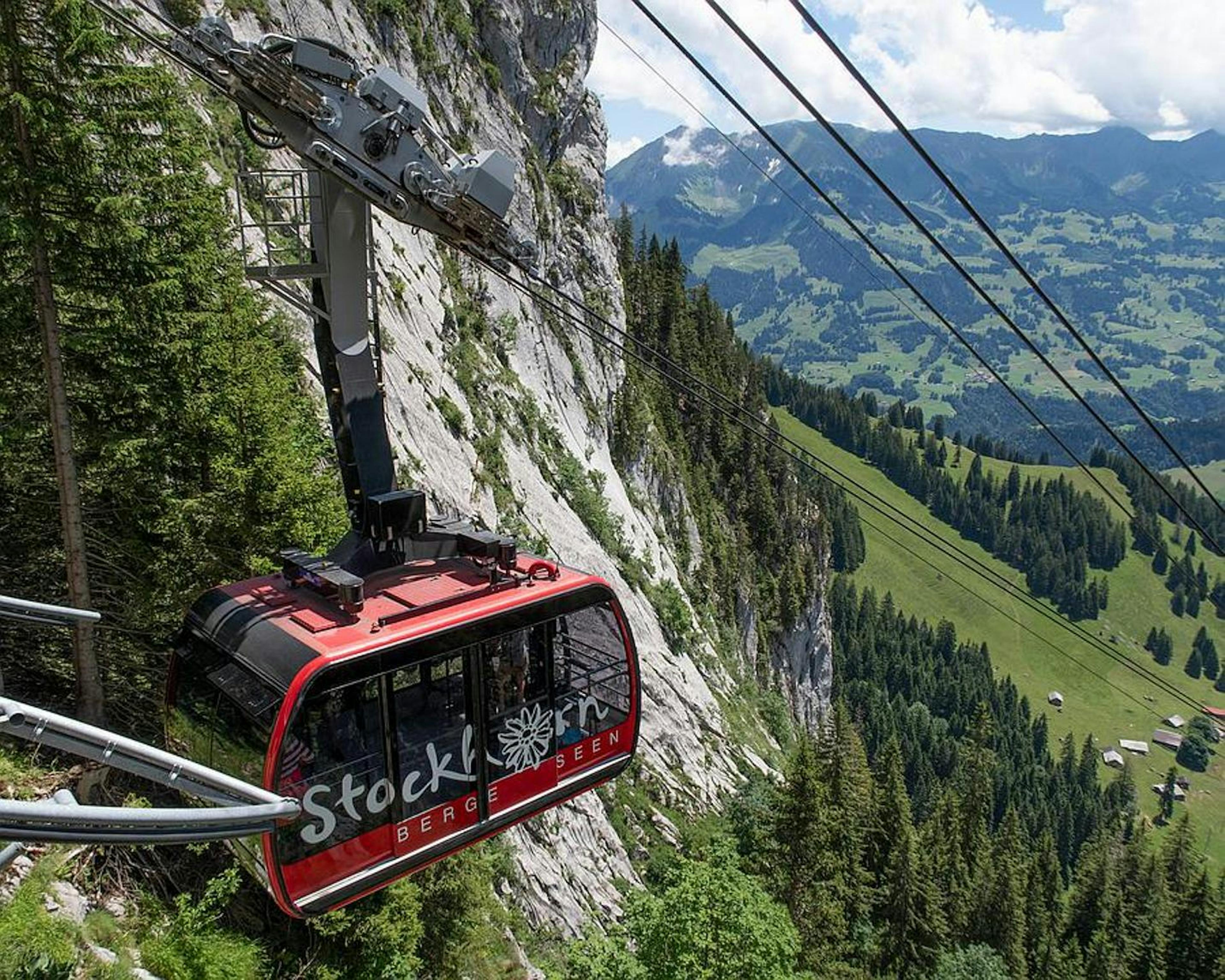
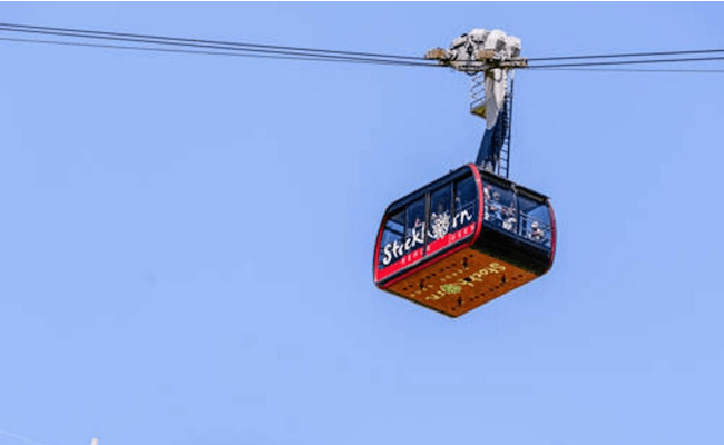
The Stockhorn can be reached by cable car, which starts from the valley station in Erlenbach im Simmental. The cable car ride is already an adventure in itself and leads over steep cliffs and deep valleys.
Stockhorn cable car
The Stockhornbahn is a cable car. Its bottom station is located about 20 km south of Thun in Erlenbach im Simmental.
The railroad line is just under 4 km long and overcomes a difference in altitude of more than 1000 meters. During the ride, passengers are offered a breathtaking view of the Bernese Alps and the Simmental.
Offer at Swiss Aktivities:
The stations of the Stockhornbahn
| Mountain station |
Location |
Altitude (m a.s.l.) |
Time from valley station (min) |
| valley station |
Erlenbach im Simmental |
725 |
- |
| middle station |
Chrindi |
1642 |
15 |
| mountain station |
Stockhorn |
2139 |
20 |
 Seilbahn (Foto: Stockhornbahn)
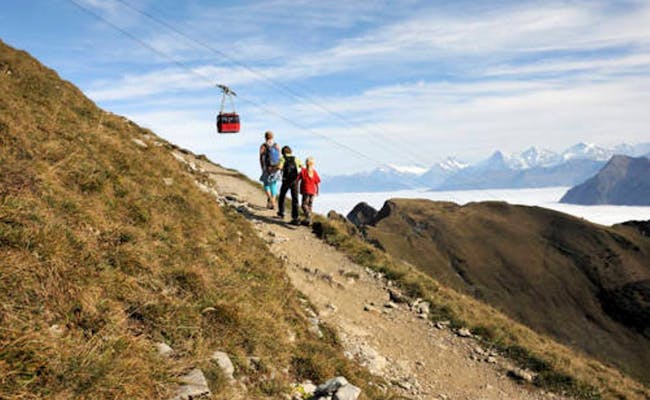 Wandern (Foto: Stockhornbahn)
How to get to Erlenbach im Simmental
To get to Erlenbach im Simmental you have the choice between car, train or bus.
- By car, take the A6 freeway and take the Wimmis exit in the direction of Zweisimmen. The drive takes about 20 minutes from Thun and 40 minutes from Bern.
- You can take the BLS train via the Bern-Spiez-Interlaken line. There are regular connections from Bern and Thun, as well as from other towns in the region. The timetable of the Stockhornbahn is coordinated with the train timetable. From the train station to the valley station you need 10-15 minutes walking. The way is signposted.
- Several bus lines connect Erlenbach with surrounding towns. They are operated by the transport company STI AG and also offer connections to surrounding ski resorts.
Regardless of your choice of transportation, you can enjoy the scenery on your way to Erlenbach i.S.. The region is known for its spectacular mountain scenery and picturesque villages.